Ελληνικά
Your cart
There are no more items in your cart


 Educational Products
 School Equipment
 Stationery
 STEM - Robotics - Programming
 Electronics
 Educational Toys & Construction Kits
 Tools & Adhesives
 Craft Materials
 Art Supplies
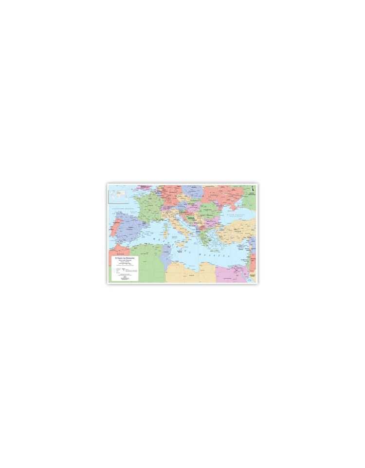
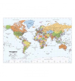
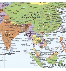
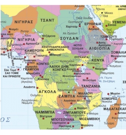
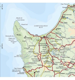
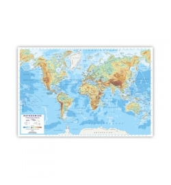
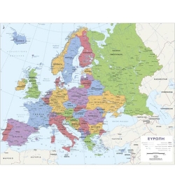
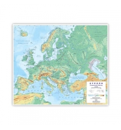
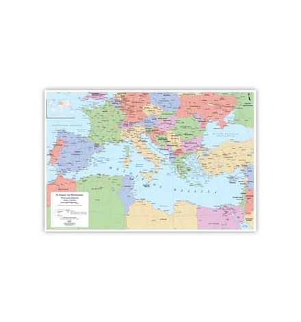
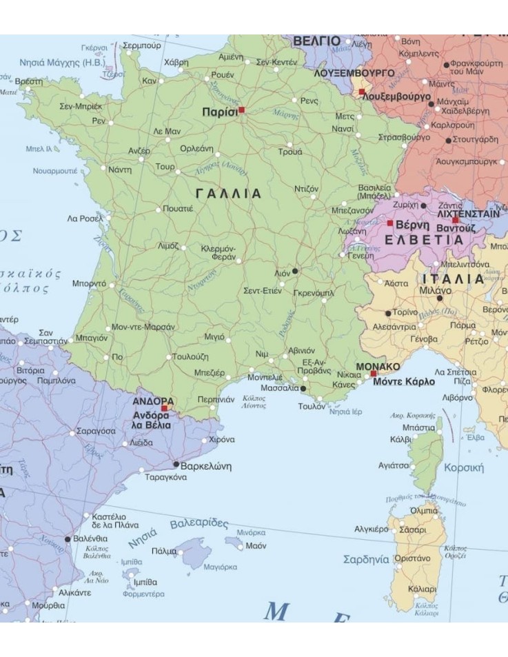
Two-Sided Map: on one side there is a Physical Map of the Mediterranean countries and on the other side the Political Map of the Mediterranean countries.
Two-Sided Map: on one side there is a Physical Map of the Mediterranean countries and on the other side the Political Map of the Mediterranean countries.
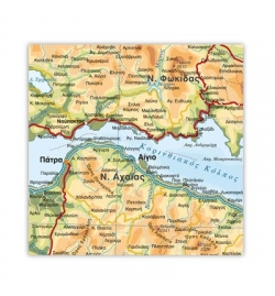
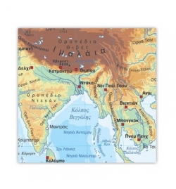
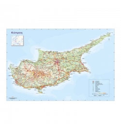
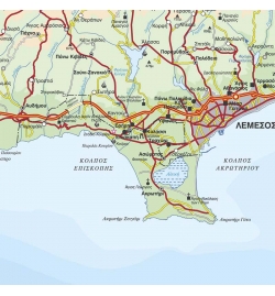
Fully comprehensive map with all hydrographic features, mountains, valleys, hypsometric/bathymetric tints, settlements classified according to population etc.
Ideal for schools, students, and anybody else who is interested in studying the geography of the Mediterranean region in detail.
The Wall Map of the Mediterranean Countries is approved by the Ministry of Education Sports and Youth of Cyprus.
Dimensions: 100x140cm